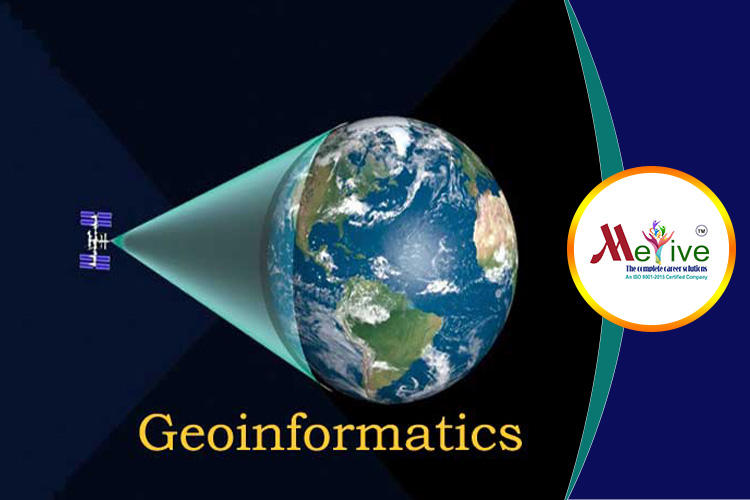
About M.Sc - Geoinformatics
M.Sc in Geoinformatics is one of the most popular career choices among candidates these days. There is a great demand for professionals with the background of Geographic Information System (GIS). This technology is still in its initial years in India and is used to address the problems related to and its related fields.
During the learn about various subjects such as Global Positioning Systems GPS), Spatial Decision Supports and GIS. Geoinformatics has multiple applications and is used in all the major industries like infrastructure, infrastructure development, agriculture, management, traffic management, forestry, and disaster management.
The course is -year long and is divided into four semesters during which candidates learn different techniques of the database and how to create multiple layers of data which is later transformed into which helps in solving various problems efficiently and makes decision-making easier.
M.Sc Geoinformatics Highlights
|
Course Name |
M.Sc Geoinformatics |
|
Duration |
2 years |
|
Eligibility Criteria |
B.Sc in relevant discipline |
|
Admission Process |
Merit Basis or Entrance Exam |
|
Average Course Fees |
Rs. 50,000 to 1.50 Lakhs |
|
Average Salary |
Rs 3.60 Lakhs |
|
Entrance Exam |
SGI Pune Entrance Exam |
|
Career Options |
|
M.Sc - Geoinformatics Eligibility Criteria
M.Sc Geoinformatics Eligibility Criteria
The minimum eligibility criteria for admission in M.Sc Geoinformatics course is as follows:
- The candidate must have passed Class 12th in relevant discipline.
- The minimum percentage required for admission ranges between 50% to 60%.
M.Sc Geoinformatics Admission Process
- Admission in M.Sc Geoinformatics course is considered on merit basis as well as an entrance exam.
- For merit basis admission, candidates previous academic record in Class 10, Class 12 and Graduation is considered.
- SGI Pune, considers conducting an institute level entrance examination for admission. After the entrance exam, the candidate will have to attend counselling rounds for the confirmation of admission
M.Sc - Geoinformatics Syllabus
First Year:
|
Energy & the Environment |
Principles of Remote Sensing, GIS & GPS |
Groundwater Hydrology and Modelling |
|
Integrated Watershed Management |
Applied Mathematics |
Advances in GIS and Other Current Trends |
Second Year:
|
Fundamentals of Computers & Programming |
Principles and Applications of Cartography |
Project Management |
|
Communication & Proficiency Skills |
|
Laws & Policies of Remote Sensing |
|
Statistical Techniques |
Digital Image Processing & Information Extraction |
Laws & Policies for Maps |
M.Sc - Geoinformatics Career Options and Job Prospects
After pursuing M.Sc in Geoinfromatics candidates can find jobs in both private and public as their applications almost in every discipline. The top recruiters who hire successful postgraduates of the course are:
- National Remoting Sensing Agency, NRSA Hyderabad
- Indian Space Research Organization, ISRO
- Indian Council of Agricultural Research, ICAR
- North East Application Centre
- National Informatics Centre ICAR
- State Electricity Boards
- Space Application
Students can also pursue higher/ research studies in the same field like Ph.D. Geoinformatics. The average annual salary after a master’s degree and professional experience is Rs. 3 lakh to Rs. 8 . Following are the popular job roles for graduate:
- GIS Technician
- GIS Manager
- GIS Developer
- GIS Applications
- Research Associate
- GIS Professional
- GIS Applications Specialist


